Geographic Information Systems
Services
- GIS Project & Technical Management
- ArcGIS Enterprise Implementation
- GIS Web Application Development
- Desktop GIS Customization
- Data Automation & Analysis
- Geospatial Data Collection
- UAV Services & Remote Sensing
Our GIS team helps you truly understand the power of geospatial tools and how they can help save time and money.
GIS combines mapping and database technology. Users can interact with technology and each other, making it easier for departments to work together and share information with the community. With so many benefits, we use GIS in all our service areas.
Bolton & Menk is the premier GIS provider to local government agencies; our combined understanding of local government and GIS technologies allows us to provide innovative solutions. Whether you want to develop new GIS initiatives or find ways to improve existing systems, our team of Certified GIS Professionals (GISPs) is up to the task. We also have a team of licensed remote pilots to efficiently gather terrain data from an aerial perspective. As your needs change, we continue to add services and capabilities to stay on the leading edge.
Technology To Our Advantage—And Yours
As an Esri Silver Business Partner, we have a deep understanding of the Esri ArcGIS Platform and how to integrate it with other applications. We have helped a variety of clients move their ideas from planning to deployment. Our team of GIS developers have the experience to design, build, and deploy a wide range of web-based geospatial application solutions. We can customize targeted use applications, specific tools, and widgets based on your needs. Whether that means migrating essential tools from legacy to modern software, small improvements to existing tools, or fully integrated custom workflows, we can make your GIS work for you.
Commitment To Innovation
Our use of innovative data collection techniques allows for a truly customized project approach. From streamlined collection forms to high accuracy GPS to photo/video documentation—our team has you covered. Not only are we equipped to collect data, but we are committed to providing powerful solutions to work with datasets of all types and sizes. Our UAV team offers a unique perspective for using imagery and elevation data. We help our clients achieve their vision for each project.

Sewer Basin Plans for Oconee Joint Regional Sewer Authority (OJRSA), Oconee County, South Carolina
The Bolton & Menk team worked with us every step of the way for the

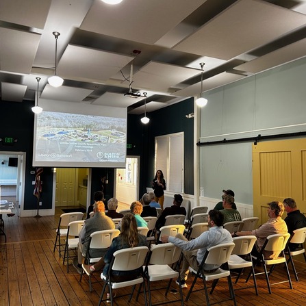
Gen H Comprehensive and Master Plan, City of Hendersonville, North Carolina
The comprehensive plan and downtown master plan set a transformative framework for sustainable growth, historic

Transportation Management Center and I-29 SMART Corridor, NDDOT
“Mike, Les, and the rest of the team have been impressive with the advancement of

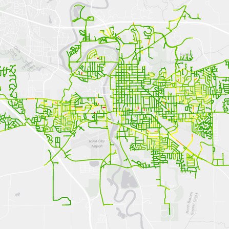
Water Distribution Pressure Zone Improvements, City of Iowa City, Iowa
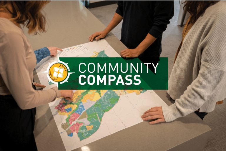
This custom GIS-based prioritization tool provides a common platform and standardization across multiple data sets.

Planning Your Future with GIS Mapping
Many know Geographic Information Systems (GIS) as a mapping tool. While GIS mapping is still

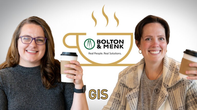
Geographic Information Systems: Coffee Break
Geographic Information Systems. What is it? How is it used? Why is it beneficial? Find

Real Opportunity: Exploring New Horizons
In our new Real Opportunity series, we explore the inspiring journeys of dedicated professionals who

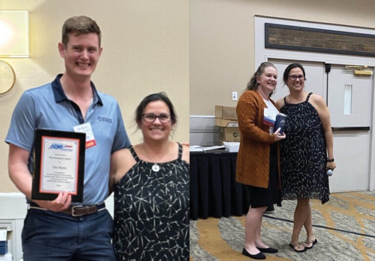
Mertz, Thompson Receive APWA-NC Recognition
Jim Mertz and Jacque Thompson, of our Raleigh, North Carolina location, both received recognition from

Malm, Swift Elected to Minnesota GIS/LIS Consortium Board of Directors
Two of our Geographic Information Systems team members have been elected to leadership positions within

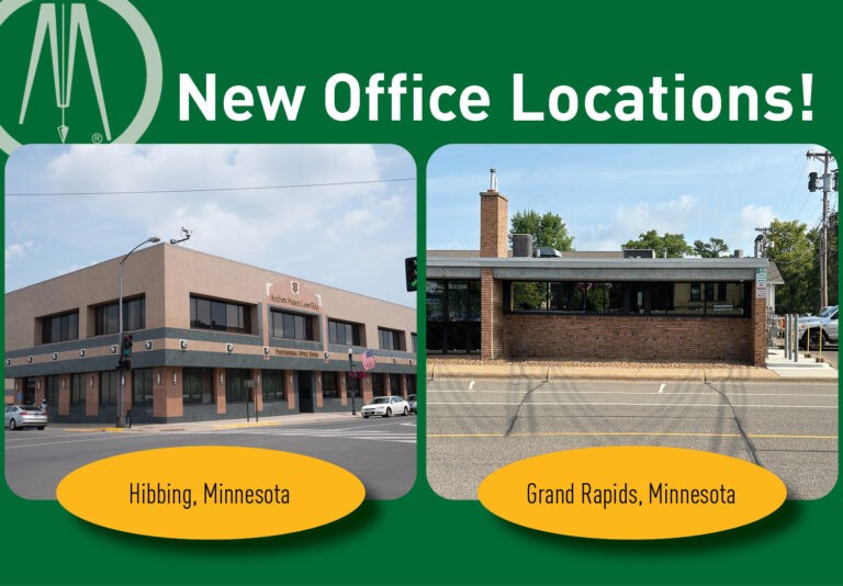
Bolton & Menk Opens Hibbing and Grand Rapids, Minnesota Office Locations
We are thrilled to announce the opening of two new office locations in Hibbing and