Land Surveying
Services
- Topographic
- Boundary & ALTA
- Residential Lot & Rural Acreage
- Subdivision Layout
- Right-of-Way & Easement Services
- Construction Staking
- Hydrographic
- UAS/Drone Services
- 3D Laser Scanning
Our team uses both time-tested and cutting-edge measurement and mapping systems.
We embrace the National Society of Professional Surveyors (NSPS) Certified Survey Technician Program, and we have been recognized for our leadership in new land surveying technologies. You can count on us to collect information with the same standards and high quality, no matter the location.
We know the only way to get an accurate reading of what is in the field is to have our survey staff stay involved with the project from the planning phase, through data collection and processing, with a final review before files are released for design.
Expertise from Experience
Our staff is equipped with the knowledge and expertise to get the job done. With a system of checks and balances to learn from each other and continuously improve our processes, you benefit from our full-service team.
By working with more than 300 agencies, Bolton & Menk has gained a wealth of experience in right-of-way and easement acquisition surveys, as well as utility easements. As our nation’s infrastructure becomes more complex, accurate surveys are critical for accurate legal descriptions and exhibits.
Our long-standing relationships with the Federal Aviation Administration (FAA) and National Geodetic Survey Professionals positions us to complete your project efficiently and economically. Our aeronautical surveys integrate photogrammetry and GIS to create a standardized data set to inform your critical airport planning decisions.
Commitment to Innovation
We prioritize innovation and creativity, so much so we dedicate more than 80,000 hours to it each year as a firm. However, we do not innovate for the sake of innovation. Rather, our team looks for creative ways to improve our different survey types as well as implement new technologies like3D laser scanning and UAV/drone services. Our field and office standards and equipment ensure our topographic, construction, boundary, and ALTA surveys are produced accurately, on time, and in compliance with industry regulations.
Whether a residential lot, rural acreage, subdivision layout, or ALTA survey, Bolton &Menk offers survey services you can trust to be efficient, accurate, and thorough, no matter what the location.

Waterline Interconnection, Grand Strand Water & Sewer Authority
This project involved the planning, modeling, final design, and regulatory approvals for a triplex 18,000

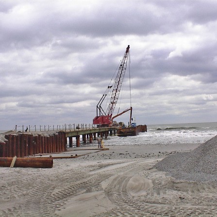
Hillside Ocean Outfall, City of North Myrtle Beach, South Carolina
The existing Hillside Drive roadway was raised 3 to 4 feet above existing grade to

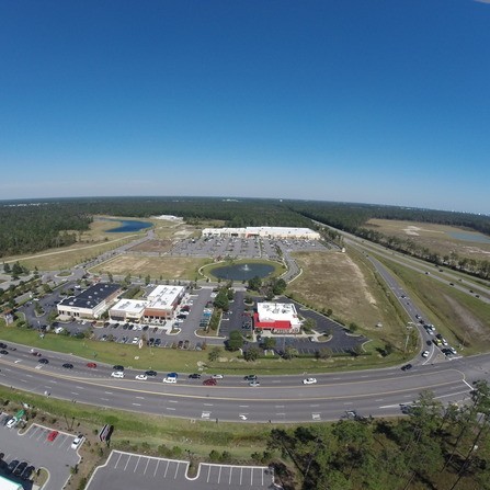
Sayebrook Town Center, The Jackson Companies
Upscale neighborhoods, restaurants, shops, and a road to connect S.C. 544 to the bypass are

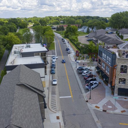
Stieger Lake Lane Street and Parking Improvements, City of Victoria, Minnesota
Pedestrian facilities were expanded to the east edge of the downtown core, available parking was

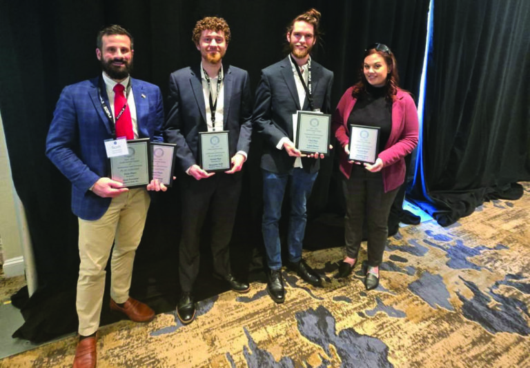
Petrarca & Breese Honored by NC Society of Surveyors
We are proud to announce that our Southeast land surveying team has taken home five

Youngsville Team Relocates to Wake Forest, North Carolina
Since 1999, our Youngsville location has proudly provided land surveying and UAS-related services to the

Eichers Receives 2025 MSPS William Kelley Memorial Award
Congratulations to Mike Eichers on receiving the 2025 Minnesota Society of Professional Surveyors (MSPS) William

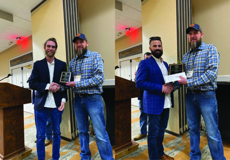
Conway Team Wins Multiple Awards in SCSPLS Plat Contest
Our Conway team secured several awards at the South Carolina Society of Professional Land Surveyors

Zeig Elected as MSPS President
Jesse Zeig has been installed as the 2025 President of the Minnesota Society of Professional